Your Sites, Your Drone Data
Identified allows you to manage and access data on-demand for real-time monitoring of sites. Our drone software gives your team cloud-based access to a full suite of tools and features to reduce the time and cost to completion.
 Build a Project Library with unlimited storage, to reference past and current projects.
 Drive Collaboration by granting access to key members for any given project.
 Invoice with Certainty by verifying billing quantities each cycle.
Powerful Drone Mapping App
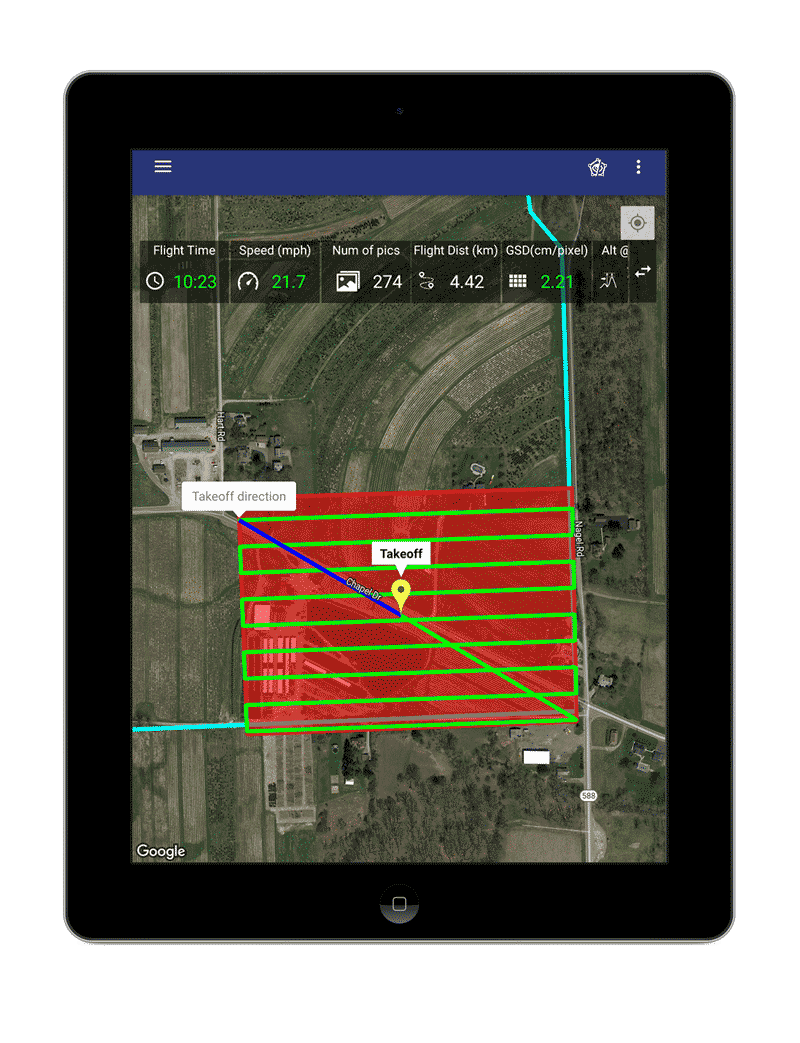
Prepare, store, and access flights with our easy-to-use Plan IQ app for autonomous mapping of sites. When on-site, no internet access is necessary to view or upload coordinates to the drone for single or multiple flights.
The app ensures all protocols are met with built-in safety features to give you peace of mind during flights.
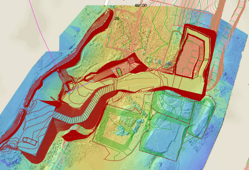
3D Modeling
Click to Rotate and Explore

Create Reports & 2D Maps
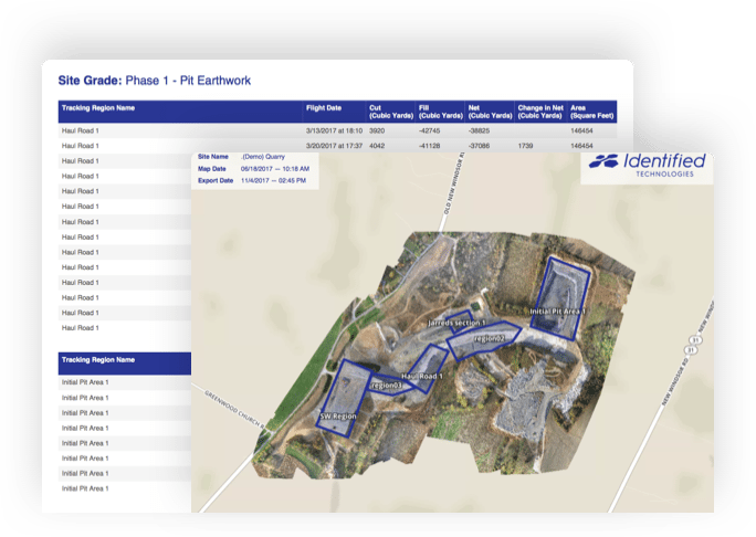
Identified gives you the ability to have a variety of reports and 3D models into 2D drone maps to share with your team offline.
With one click, be able to download ready-to-share, in-depth reports such as Quantities, Volumes, Cut/Fill Heat Maps and more!
Export Files to CAD & GIS
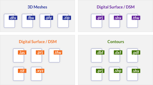
Share and export drone maps and point clouds into all standard formats and file types to analyze in your preferred CAD and GIS programs. We support and integrate with all applications!


Utilize Any Coordinate System
Whether you are working in local or state systems to gather site data, we have you covered. Identified gives you the flexibility to compare your drone maps to official topography records.


